Retaining Wall/Slopes
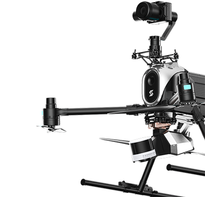
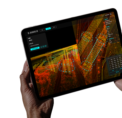
Drone LiDAR creates high-definition maps of terrain and automatically detects changes such as subsidence or sinkholes based on historical data.
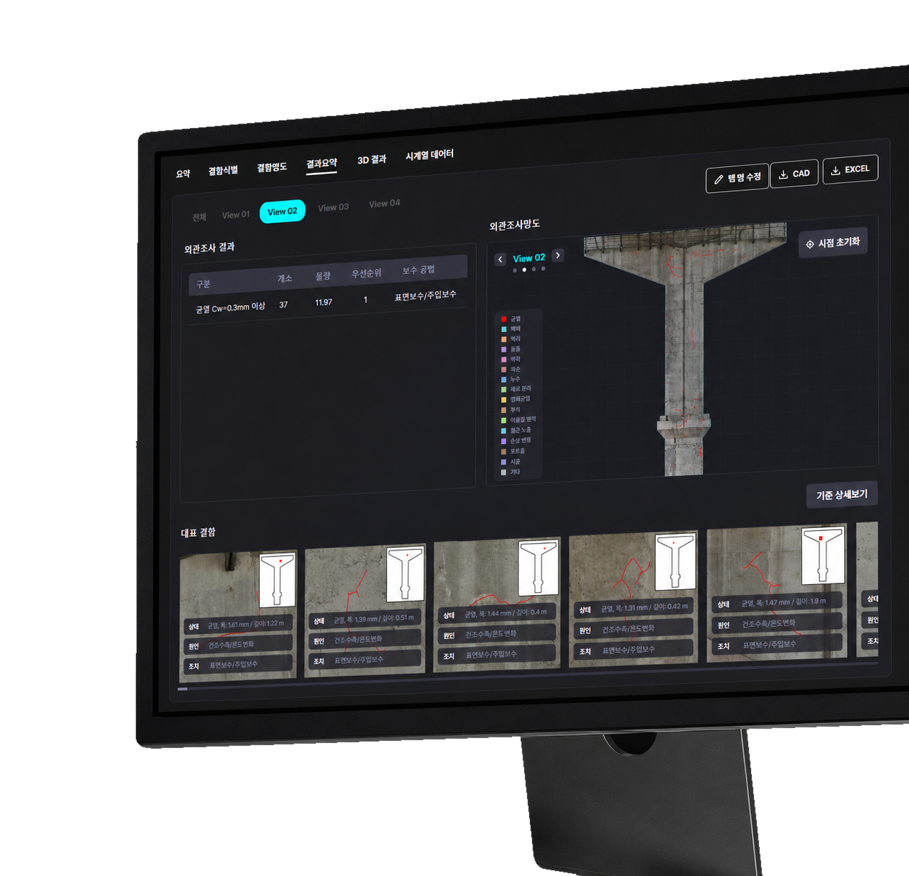
CracksWater Leakage / LeaksTiltCollapse RiskFalling Rocks
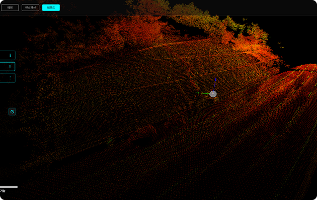 Calculate the tilt of the retaining wall's face and visualize bulges.
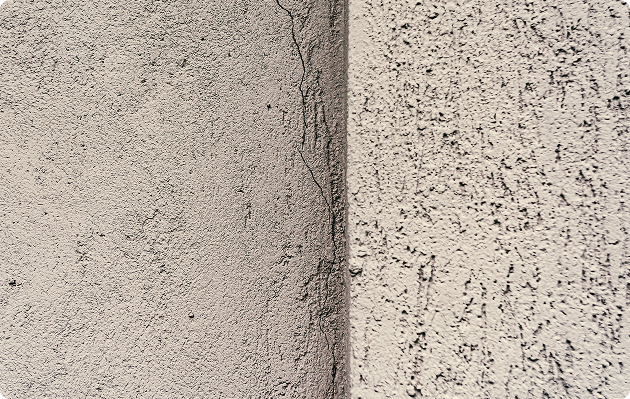 Early warnings of collapse precursors help prevent safety accidents.
Interlocking Package
This package is optimized for inspection of the facility.